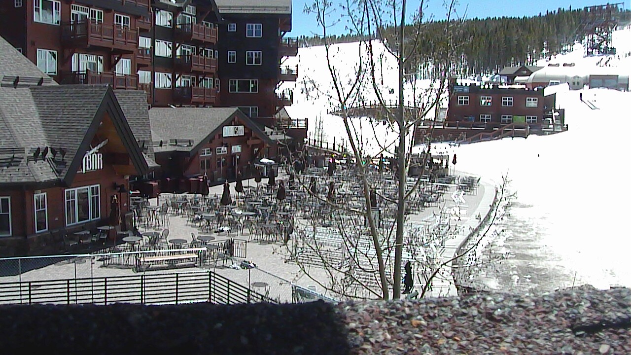
Breckenridge Ski Resort - Peak 6 Vista
(from Breckenridge.com)
Colorado Web Cams
Breckenridge/Hoosier Pass, Colorado
(Note: This page may need reloading on some browsers for new views)
Breckenridge is the county seat and the most populous municipality of Summit County, Colorado. The ski resort town's population was 5,078 at the 2020 U. S. Census. The elevation of Breckenridge is 9600 feet (2926 m) above sea level, and it sees 163.6 inches of snow a year.
Hoosier Pass, elevation 11,542 ft (3,518 m), is a high mountain pass in central Colorado, south of Breckenridge. This pass is the highest point on the TransAmerica Trail, a transcontinental bicycle route that stretches from Yorktown, Virginia to Astoria, Oregon. Colorado Highway 9 runs over the pass with several switchbacks on the north side with a grade of 8%. The road occasionally closes during winter snowstorms.
- Click on images below for a larger view -
Breckenridge Mountain Cam
(from YouTube)

Breckenridge Ski Resort - Peak 6 Vista
(from
Breckenridge.com)
 Half Pipe (Peak 8) (from Breckenridge.com) |
 CO 9 at River Park Dr in Breckenridge (from CDot) |
 CO 9 SB at N Main St Ave in Breckenridge (from CDot) |
- Hoosier Pass Area -

CO-9: 0.1 mi N of Mark Ct Hoosier Pass: Looking South (from
CDot)

CO-9: 0.1 mi N of Mark Ct Hoosier Pass: Looking North (from
CDot)
- Map -
| Colorado Web Cams | Copper Mountain | Fairplay | Crestone Weather Center |